
We left Texcoco and stopped by Walmart to pick up some supplies. We needed paper products, some dairy, and some meat. I picked up some more cash so we don’t have to keep looking for ATMs the next several weeks. We were packing the truck and had to dispose of two small bags of trash and I put one in one of the containers in the parking lot. Getting rid of trash in Mexico is not a simple task, especially in CDMX where 20 million others are doing the same. Some dude came out from Sam’s Club and started yelling at me in Spanish and then hovered at the back of the truck indicating I had to go get the other bag back, which had now been removed from the trash container. When we finished putting everything away, he reached for my second trash bag, I handed it to him with $100 pesos ($5.50) and he instead took it AND the other bag to the big trash bin in the back of the store. Problem solved.
We made our way out of the parking lot and on to the 52 miles we were going to drive today to Paseo de Cortez, between the two volcanos outside of CDMX. It took us about 3 hours to get up there, including a stop to repair those pesky tie-downs on the camper after hitting yet another ridiculous bump at 60kph on the freeway. uggh.

We arrived at the Parque Nacional Iztaccíhuatl – Popocatépetl around 2:30 and set up a quick free camp in the parking lot. Jaime is a National Park Police Officer and he was doing his 48 hour shift this weekend and he met us in the parking lot and gave us a tour of the visitor’s center with a great explanation of the park, the volcanos, and the history. Popocatepetl is closed due to its activity and the safety of the visitors as well as refurbishing the natural setting. Iztaccihuatl is open for business and at the peak it sits at 17159 feet (5280 meters). He said you can hike to the summit in 5-6 hours from the parking lot and some people do the up and back in one day. We will skip that, mainly due to the requirements for cramp-ons above 5000 meters and our lack of protective gear. My mom’s hiking club traveled here and did this in the 60’s.
Jaime gave Kathy a ride on the official 4-wheeler and showed here a good hike we could do the next day to a local lake. She bundled up tight because it was about 50 degrees and as the sun set it quickly dropped to 40. She came back slightly frozen and I made some good chicken potato soup for dinner. The temperatures dropped to about 30 degrees overnight and we were thankful for the heater in Howie. We met a young German couple, Nick and Emily, who have been traveling in their Mercedes van since 2024. They have been from Halifax, Canada, to Florida, across Texas to California, up into Alberta and British Columbia, into Baja California last winter, back to Florida (to store their vehicle over the summer) and then back to Mexico this year. It was great talking to them and getting their insights on travel.

Saturday this place is packed with hikers and the sparsely populated parking lot was filled to the brim by 8AM. We made a quick breakfast, took the pups for a walk, and then headed down the trail Jaime recommended. It was a beautiful hike through a pristine forest (minus all the trash next to the trails) and on to a lake. The lake area is an ecotourist area with a few cabins, some paddle boats, and a campground. There are some roadside stands and caminas where we had a three blue-corn tacos and two drinks for about $13 USD. The hike to the waterfall was short and the waterfall was beautiful.

We decided to do a loop back and hiked up the road (yes it was all uphill) back to the parking lot. The whole day was about 7.5 miles of hiking and took us about 4 hours. What a fantastic day. Kathy made her beef stroganoff for dinner and we shared a plate with Jaime after his return from his patrol (he takes his quad up to the end of the road, about 10km, and then hikes up to the shelter, about 5000 meters. Then the patrol follows the other trail down and back to the pass. He said there used to be a problem with hikers getting robbed but after the government put patrols out there 10 years ago, there has not been any issues.
We had a nice relaxing night and will be heading down to a town called San Andrés Cholula next to the larger city of Puebla. We will stay a few days there to explore and enjoy the atmosphere.
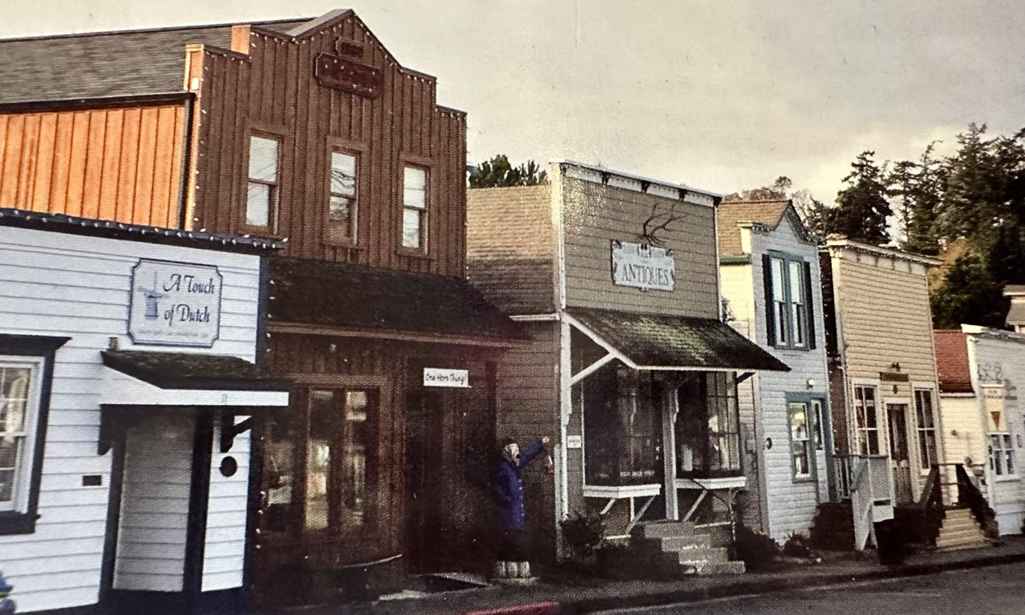
Here are some additional photos from the days in the pass.


