
Years ago I read a book called “Think and Grow Rich”. The title alone implies that its about money, and it was based on research done on “successful individuals” by Napoleon Hill where he discovered 13 principles of success. The pretense (and title) of the book is about money, but more importantly and deeper in the principles, it discusses dreams and goals and why we succeed in them or fail to achieve them. Napoleon Hill lists 30 major reasons we fail to achieve things in life; some are based on fears, some are based on personal behaviors (both positive and negative), and others are purely environmental. Other books “The Secret” by Rhonda Byrns and “The Ultimate Secret to Getting Everything you Ever Want” by Mike Hernaki are also a powerful reminder of achieving dreams and goals. In these series of books some basic ideas and methods can be formulated on achieving goals and understanding where our limits might be. These also have relevance in placing your dream or goal at the forefront of your mind in order to focus on its achievement. State it every day; live it every day.
Most people these days have heard of SMART goals: Stated, Measurable, Achievable, Relevant, and Time-bound. I believe there are two of these factors that are the most important, at least for me; Stated and Time-bound. It’s easy for me to put together a stated goal, but easier still to have that open-ended. That is why I set the goal to drive the PanAmerican Highway with a year to start as 2025. First and foremost, the frequency that I stated the goal, thought about the goal, planned for the goal and committing these statements to more people. It bound my word to the goal and set accountability. By setting the start date, I could not procrastinate and push it off a year or more. It does not mean that I did not procrastinate, or that I rushed things toward the end, but what it did was push me to commit to a June 2025 start date. I thought I had the funds to make it happen. I thought I had the time to make it happen. Some details I ignored, because I knew starting was the biggest part. God and my faith has been a big factor; as He seems to deliver when I find things hard. I keep working every week to make sure things progress on this goal to drive the Pan American Highway to Ushuaia, Argentina.
What I did not have set were strict budgets for money and time. Nor did I set a strict path to drive; I wanted to experience and wander through new places. I figured a $3k/month budget would be enough; at times it is achievable, but many other factors push those limits. These things have been frustrating to me during my progress. I am determined that money and time will not hinder my achievement of this goal; this dream.
And looking back at these books, the most interesting part was in one of these books, I cannot recall which, there was an exercise to create an extensive list of reasons why you will NOT achieve your goal. The pretense behind it is that if you can think of all the reasons you will quit, fail, lose focus, etc., and you find one or more of these reasons on that list that you personally cannot overcome. Those will be the reasons you will not achieve your goals. The focus is to look at those things, and find a way to overcome those listed things. It’s not the goal, it is persistence to overcome or outmaneuver failure.
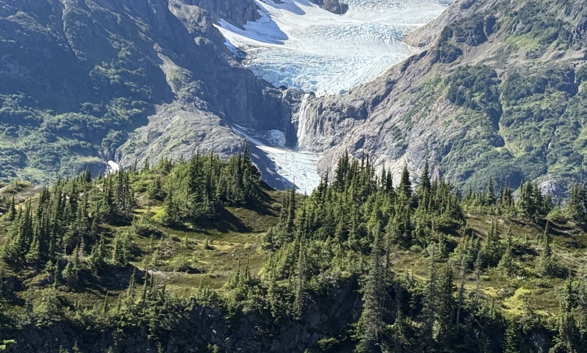
Much of this mindset is based on research, and when put to a practical test, it is very revealing. Many years ago I was introduced to camping as a young child. I came to love the outdoors and have spent a good portion of my free time camping, hiking, backpacking, off-roading, mountain biking, and general exploring. In 2010 I discovered overlanding (something I may have discovered eventually, or may have already been doing) but originating from a challenge from a respected colleague while working in Iraq, I jumped in, fears challenged, and found my passion. A passion that has turned out to be more of a past-time; a hobby, rather than a lived passion; until recently. So why did it take me so long to get here? And why do I, every day, fear that it will end and I will never get it back? Or that by doing this, I am losing other opportunities that will negatively impact my future? These are the things I did not think to put on my list.
Things on my list included mechanical challenges, health management, border crossings, vehicle maintenance, language barriers, financial issues, time constraints, weather, traveling companion, pets, the house, storing or selling our stuff, employment before/during/after, retirement funding, electrical power management, living space, parents, siblings, etc. The list was long. Some things for me I just simply knew I would overcome. Others I kind of pushed aside thinking the item would likely not affect me. Finally, I had to address directly; of which most were physical/mechanical as that is where I was most comfortable.
Some things on that list that I did not identify, or merely hoped would not surface turn out to be ones that are the biggest challenge for me. In 2019 my parents were healthy and in their late 70’s. By 2023 my mom had some serious issues and was needing surgeries and joint replacements. By 2024 she was healing and my dad started to have mobility issues. By 2025 he had been in the hospital twice for extended stays and joint replacements and has since not recovered to the point he can not walk or do the basic things he needs. My mom cannot take care of him, and he cannot take care of her. My wonderful brothers have stepped in to help, but it is a lot for everyone, and for me, being there to help is one of my core values.
This week my mom fell and hurt herself pretty bad. We are at a point in Mexico where if we continue into the Yucatan as we had planned, it will take us further away. And crossing into Belize or Guatemala will further complicate getting back. So we have decided to head back for a few weeks to a month to help out, visit, and assist where we can. We don’t know the long term plan at this point; and neither do my parents, but for now, we feel we need to be there.
So for me right now I am extremely conflicted in my heart between family and with my goals. Kathy and I have talked and this is not the end of the drive; we are taking a 4000 mile detour to take care of things that are more important for now. Last night mom went through a surgery to drain blood from her brain sustained in a fall she took. Tomorrow she will go through another surgery to repair the vein and hopefully she will recover quickly and be able to go home in a few days. Dad was supposed to come home this Wednesday, but that will likely be pushed until we can get mom settled. My brother and sister-in-law, Rick and Terry have been wonderful so far and my other brother, David has been helping where he can. We are going back to see where we can be of help; to visit; and to be with family in this time.
It feels like I am quitting, and I am trying to reframe it to stay on track. Originally I had driven the northern part of the Pan American in 2019 with my friend Carl, and I was planning on going south in 2025. Kathy and I met again, married, and she signed on for the trip with enthusiasm, and since she had not been to Canada and Alaska, I changed my 2025 trip to do this with her. In the process I got the idea that I was to drive the whole thing in one attempt (I changed my goal). When you look at our map, it will look more like spaghetti than a direct route. We are in Oaxaca now, turning north, and will do the fastest route up to Texas and back to Arizona. We should be there in 4-5 days if all goes well. Kind of funny, it has taken us almost 4 months to get here in Mexico and it will only take 4-5 days to get back. The good thing is, when we start again, in 4-5 days, we may be back down here in Oaxaca, or just hit the Yucatan
Today I make some quick repairs to the camper and tomorrow we start the trip back north.


