
We left Loreto and headed west to the Pacific coast port of San Carlos. Along the route there is an old Mission about 16 miles up the mountain that was suggested by one of the fellow campers in Loreto (thanks Liz). It took about an hour after leaving, filling up diesel, and grabbing some quick snacks to arrive at the mission. Mission de San Francisco Javier Vigge Biaundo was founded in 1699 by Francisco Maria Piccolot was built between 1744 to 1958. Vigge Biaundo is translated as “high lands in the heights of the ravine” and was inhabited by the guaycura and cochimies tribes at the time. The town of San Javier is at a point in the canyon where water rises above the ground to form pools. The site has a museum in the living area of the building and the church itself is still an active parish. Some information linked here.

We walked around the site, looking at the small graveyard and surrounding fruit trees and ancient fields. The museum was interesting and had some old clothing from the early period of the church as well as some of the old chalices and other artifacts. The town itself is a Unesco heritage site with its 300+ years of history.
The town was quiet and traversed by a couple of cobblestone streets. We meandered up to the iconic Mexican town sign and took our picture, which has become somewhat of a thing for us as we stop in these little (and big) places. We had lunch in one of the several restaurants with some Chilaquiles and fresh fruit for lunch. I have been wanting take some of the Baja back roads since we crossed and have been on a couple. The one from San Javier was supposed to be a 3/10 on scale for the 57 KM and passed through some beautiful desert. The road was good, although we found some low hanging trees that we had to maneuver Howie through. The last 20KM was a brutal set of washboards that I tried to get the right speed as to not feel them as much. With the bigger tires on Howie, it made it a bit easier. Along the route the river surfaced in many places and contained pretty clear pools as it worked its way through the rocks. In high-water season, this road would be impassible due to the deep crossings.

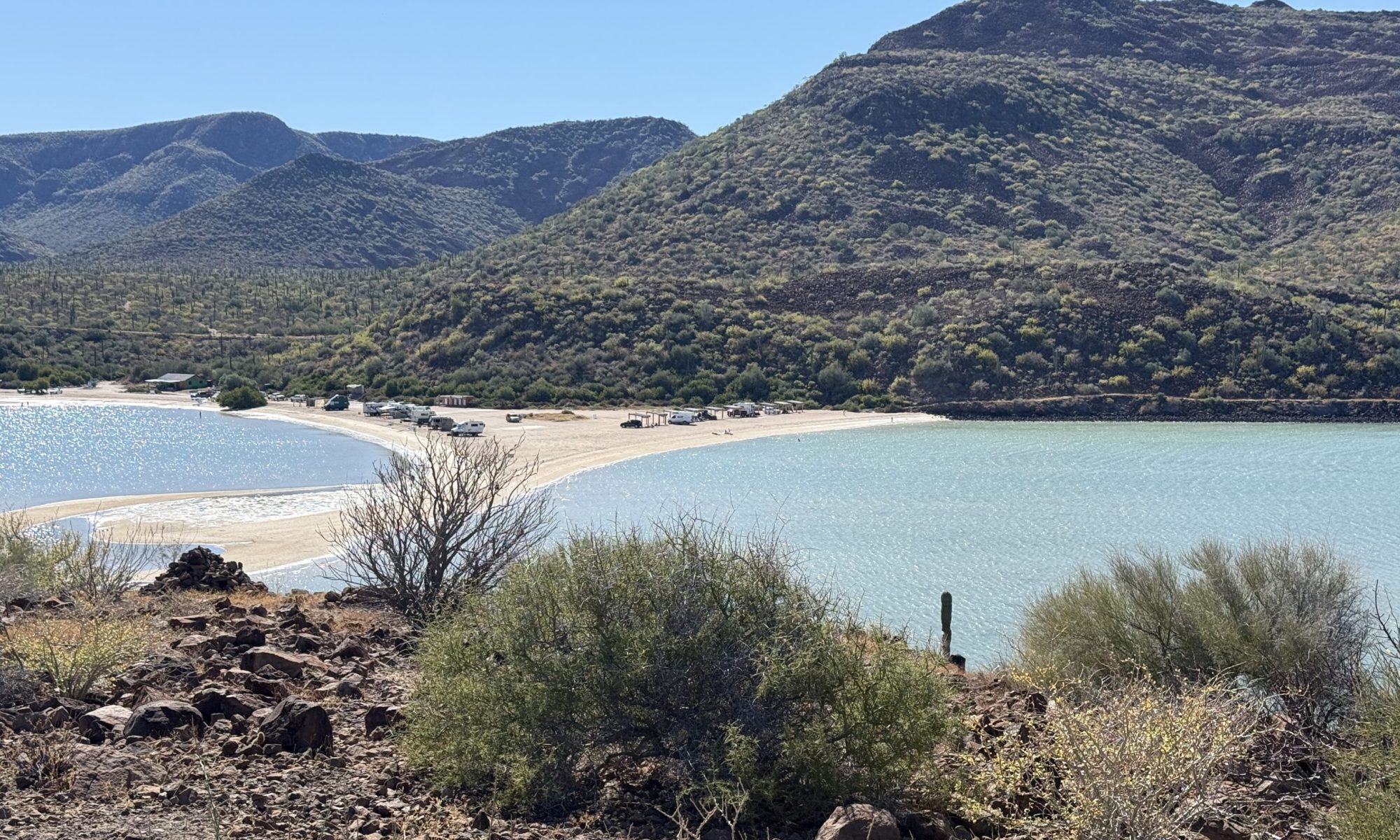
We looked for a place to camp but did not find anything to our liking, and since we had several hours left, we headed towards San Carlos once we hit the pavement. We were pushing it as the distance on the dirt took more time than we expected. We rolled into San Carlos right after dusk and for the first time since we left Arizona, had to use headlights to find a spot to camp. We picked one on iOverlander at the edge of town and about 20 feet from the high-tide mark.

Beach combing was incredible here for Kathy as the coast was littered with literally tons of shells. She picked to her heart’s content and added to her collection. We broke camp about 9 and drove around town for a look. San Carlos is a working fishing town and has one street that is somewhat paved, but only halfway through. The rest is a network of packed sand behind a sand seawall that would not hold with any significant storm. We combed another beach, she found some dogs to play with, and then we decided to head on to La Paz for the next couple of days.
Here are some additional photos of the mission and things we found in San Carlos (not much). There are museum displays that need a translation, and I have not done that yet.